
Norfolk Neighbors By Block Source
Norfolk neighbors can be researched through several public record layers, each with a narrow purpose. The county map and assessment card are the starting points for adjoining parcels. Plats explain lot lines and rights-of-way. The state voter tools serve an individual registration or polling question, not a streetwide roster. Library collections add historical names and community context. Start with the parcel that touches or sits across from the target, then keep the distinct record types separate.
| Norfolk source | Block detail it can support | How to access it |
|---|---|---|
| Madison County GIS parcel map | Adjacent parcel polygons, PID, ownership fields, legal descriptions, map layers, and imagery | Public map; the live interface may require JavaScript |
| Assessor property card | One parcel at a time: owner, mailing and situs addresses, values, class, and building information | Online report or assessor counter |
| Plats and surveyor records | Lot, block, subdivision, road, right-of-way, and historical parcel shape | County, History Nebraska, or Heritage Room |
| Nebraska Deeds Online | Transfers, recorded parties, and legal-description matches among nearby parcels | Free index; copies and images vary |
| VoterView and election office | A named registrant's limited registration and polling workflow | Individual lookup or lawful office process, never a block roster |
| Library history sources | Earlier address, school, church, newspaper, and civic references | Heritage Room and Community History Archive |
An owner name can be an important start, but it is not proof that the owner is the person currently present at a Norfolk address. A mailing address can differ from the parcel's situs address. The record may also describe a vacant parcel, a multi-unit structure, or a classification used for assessment. Treat the map as a land-record tool first.
Norfolk Neighbor Parcel Layers
The Madison County GIS is designed for parcel context. Its captured search controls include “Search Address, Owner, PID, STR, GIS Layers,” filters for parcels and sections, plus export and show-all-features tools. The available layers include Assessor, Roads, Planning/Zoning, Emergency, Treasurer, Clerk, Deeds, and Weeds. That combination can explain why two lots appear next to each other, or why an alley, drainage tract, outlot, or right-of-way interrupts a block.
For an address that does not resolve at first, try its number formatting, street-type abbreviation, direction, or a map click. The assessor card returns the stronger identifiers: PID, owner, owner mailing address, property address, and legal description. City maps add street-name, zoning, flood, ward, and aerial context, but their disclaimers make clear that they are informational rather than legal records. For a boundary dispute, use the official county or city office route.
The City of Norfolk permit and application portal links to address-based municipal services that can date building work or a land-use action.
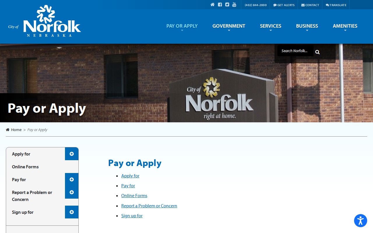
Permit and application records can mark a change at a parcel, but an applicant, contractor, or organization is not necessarily the owner or current occupant.
Note: Parcel boundaries need a legal-description or plat check before they are used to describe two lots as directly adjoining.
Norfolk Neighbor Voter Limits
Nebraska VoterView supports a named-person lookup with first name, last name, and county, plus a separate residential-address search for a polling location. Select Madison County for Norfolk. The public interface can confirm a limited registration and polling workflow, but it does not provide a blockwide list. A no-match may reflect the supplied fields, a move, a protected record, or a different spelling. Use an independent identifier before treating a match as the right person.
Nebraska law permits examination of a register at an election commissioner or county clerk office, yet copied lists and distributed voter files have separate limits. The state request process requires an affidavit, stated permitted purpose, and a $500 fee for a one-year file access period. The request material says the file may not be posted or made accessible on the internet. Protected fields and confidential voters remain outside that route.
The Madison County elections office is the local place for polling questions, registration forms, corrections, and past-results information.
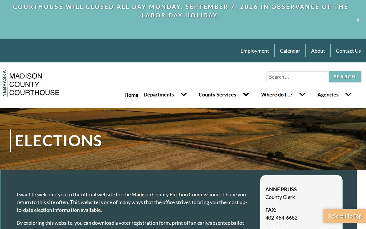
Use election information to resolve a specific registration or polling matter, not to assemble a neighborhood list.
Map Norfolk Neighbor Parcels Carefully
A block-level Norfolk search works outward from one verified parcel. The county material says its GIS can establish perimeters for mailing notices, although the live public map did not expose every adjacent-parcel or distance-button label during inspection. Clicking the parcel polygons, reading their cards, and checking the legal descriptions is the reliable public method. The aim is to map land relationships, not to create a list of people.
- Find the target street address or PID in the Madison County GIS and center the map on its parcel polygon.
- Click the parcels immediately touching it or across the street. Record each PID, property address, owner field, mailing address, and legal description.
- Compare the legal descriptions and plat. Decide whether the polygons are contiguous lots, an alley, an outlot, a drainage tract, a split parcel, or a public right-of-way.
- Use the deed index only when a historical ownership question needs it, matching the recorded legal description before joining one parcel's transfer to another.
- Check a dated permit or conditional-use contact map when the question concerns an identified land-use event rather than ordinary presence on the block.
For a full named-street record chain, use the Norfolk Street Directory. The street workflow is broader; this parcel method stays focused on the immediate block.
Norfolk Neighbor Resources, Not Rosters
No official Norfolk, Nebraska neighborhood-association or HOA membership roster was located in the local research. City boards and commissions can name appointed people, but appointment records are not neighborhood directories. Public community resources can still help with an older block question, a local event, or a map and records referral. They should be contacted for their own historical materials, not asked to disclose member lists.
Norfolk Public Library Heritage Room
Collection and service details cover directories, phone books, newspaper microfilm, yearbooks, cemetery material, and plat maps.
Elkhorn Valley Museum
Museum contact information is the local referral for deeper Norfolk history research beyond the library's limited copy service.
Madison County Historical Society
Collection information identifies newspaper and county-history help in Madison for Norfolk and surrounding communities.
The City of Norfolk staff directory is a separate official contact route for city departments such as planning, library, and city clerk functions.
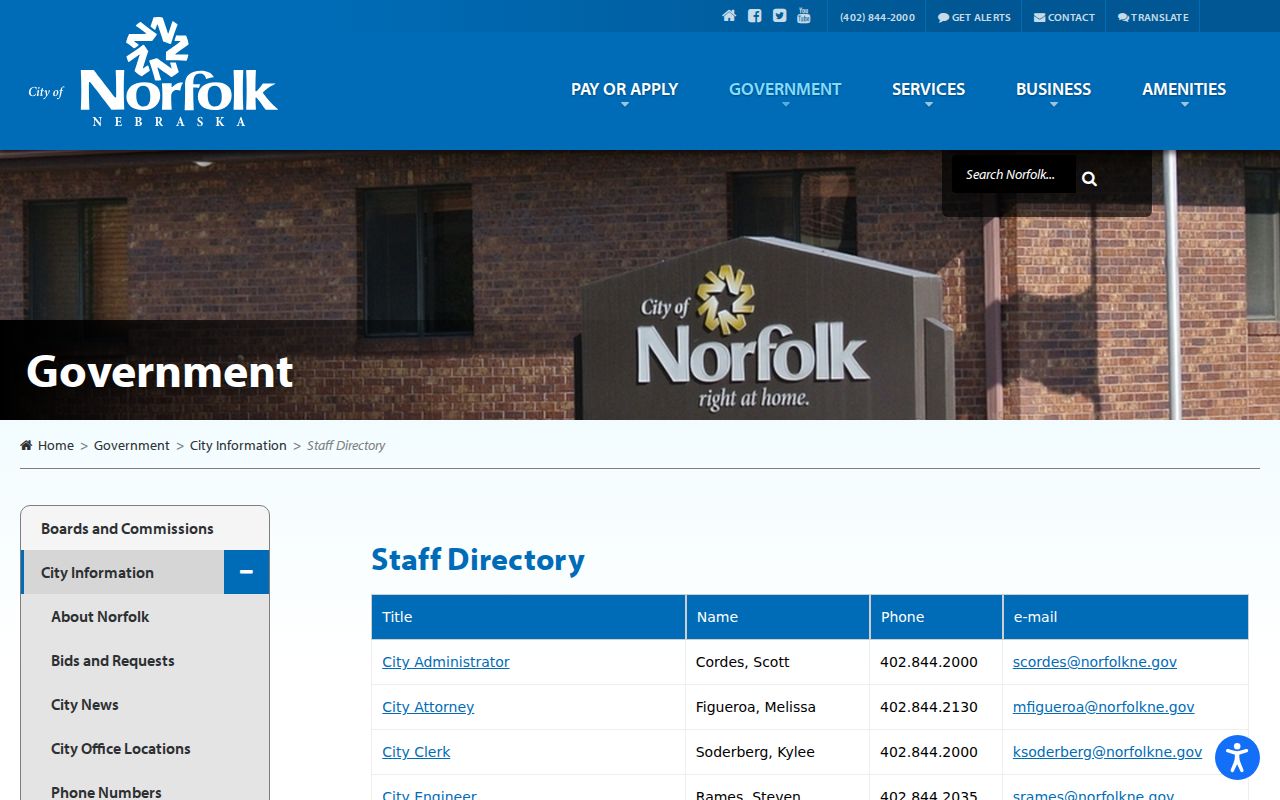
Use the department subject to route a map, permit, or public-record question to the appropriate Norfolk custodian.
Norfolk Neighbors In Local Archives
Community history can add the human layer that parcel cards lack. Norfolk Public Library and Elkhorn Valley Museum announced their searchable Community History Archive in February 2026, with documents, photos, and other local material available through Biblioboard. The Heritage Room also lists city directories from 1889-present, phone books from 1926, Daily News microfilm from 1887-2009, yearbooks, cemetery records, and plat maps. A yearbook or newspaper notice may help connect a family to a period, but it should be verified with a dated address record.
Church and school sources can supply context when civil records are thin. History Nebraska holds First Congregational records from 1870 to 1970 and Trinity Episcopal records from 1881 to 1980. These are archive collections, not current rosters. For a former classmate or family-history question, pair a yearbook or news result with a directory, deed, or probate record before placing it on a particular block.
Note: Community-history material can preserve a relationship or date, but it should not be read as proof of present-day residence.
Norfolk Official Records Versus Tools
Official records and commercial neighbor tools are not interchangeable. County and state sources identify the keeper, the record type, and the limits of the result. Commercial services may combine records from different periods and can merge similar names or retain an old address. A careful Norfolk neighbors search begins with the official source that fits the question, then cross-checks a historical claim with another dated source.
| Category | Useful strength | Important limit |
|---|---|---|
| Official parcel, deed, and plat records | Specific parcel, legal-description, and recorded-transfer context | Owner fields do not prove every person at an address |
| Official voter and election records | Limited named-person registration or polling questions | Public use, copying, and confidential-record rules apply |
| Library and archive materials | Historical addresses, notices, and community context | Coverage varies by year and an entry may be incomplete |
| Commercial neighbor tools | May provide a lead to test | Source dates, identity matches, and accuracy can be unclear |
Norfolk Neighbor Safety Notices
Nebraska's official offender registry has a separate public-safety purpose. Its region search accepts county, city, or ZIP, and its location search uses a specified location with a one-to-three-mile radius. The results are statutory notification information, not a complete list of people in a block and not proof of ordinary residence outside the reported registry address. County jail entries and booking records likewise describe a dated custody event rather than a neighborhood presence.
The Nebraska offender registry region search illustrates the separate city, county, ZIP, and location modes.
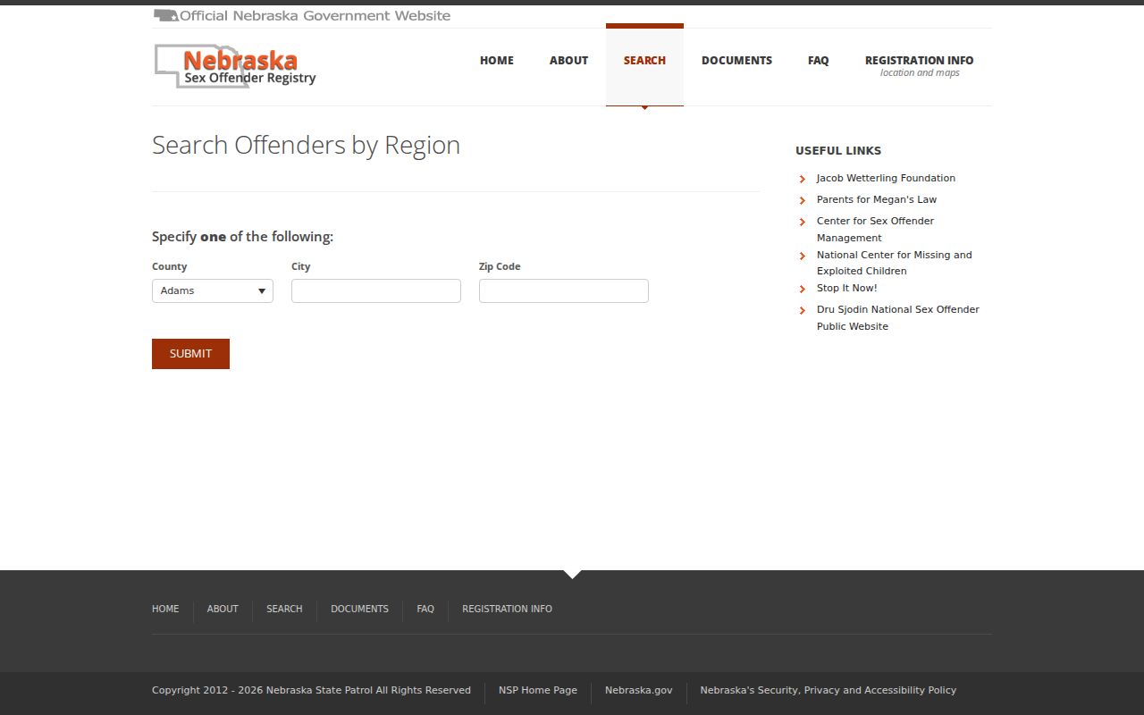
Read the registry's stated limits and report date before relying on a result for a personal-safety decision.
Norfolk Neighbor Privacy Boundaries
Public land records have limits. They do not establish who lives in every unit, who visits a property, or who is unregistered. Utility customer and delivery lists are not public block records. The Nebraska Address Confidentiality Program gives qualifying participants a substitute address and mail forwarding. Under Nebraska voter confidentiality law, a qualifying record can withhold or replace name, residence-address, and telephone information. Never use a public source to defeat those protections.
Lawful use. Use Norfolk neighbors records for personal community knowledge, local history, or verified safety information. Do not use any address or name to stalk, harass, intimidate, or harm another person.
For an error in an official result, retain the source URL, date, disputed field, and supporting record, then contact the custodian. The Nebraska Attorney General's public-records guidance explains the state access framework, while a record correction depends on the office that created the original entry.