
Trace a Norfolk Street by Address
The first Norfolk street-directory pass is an address trail, not a name list. Start at the Madison County parcel card and keep the parcel ID, situs address, owner mailing address, and legal description together. Then use the legal description to test a deed-index result. The process can show who holds a recorded interest in a parcel and when a document was filed. It does not turn a street into a complete list of people at each doorway.
Use a short segment at a time. Parcel boundaries and street numbers can change across a subdivision, alley, right-of-way, or replat. A common owner name can attach to several lots. Treat the property card as the current anchor, then move backward through the record chain. If an earlier address is involved, write down the old street wording before trying to match it to a current map.
- Enter the Norfolk address in Madison’s parcel search. If it fails, test number formatting, direction, and street-type abbreviation, then use owner, parcel ID, or legal-description search as a cross-check.
- Open the property card and record the parcel ID, situs address, mailing address, owner name, subdivision or section description, and map result.
- Browse the same segment in county GIS. Compare adjoining parcel polygons, legal descriptions, and map layers before treating nearby lots as part of the same block.
- Search the current owner as grantee in Nebraska Deeds Online. Select the document whose legal description actually matches the parcel.
- Use VoterView only for an individual named registration question, then ask the Heritage Room for a year-specific address or phone-book source when the question is historical.
Note: A deed, parcel card, and voter result each have different dates and purposes, so a matched name should be supported by another record.
Norfolk Street Addresses Have Three Forms
The Norfolk address trail works best when three address forms stay separate. The situs address identifies the physical parcel. The mailing address identifies where tax correspondence goes. The legal description is the land language used in recorded documents, such as a subdivision, lot, block, or section-township-range. A physical street address is easy to recognize, but title work follows the legal description more reliably when a parcel is replatted or a numbered address changes.
An inspected Madison assessor card makes the distinction concrete: its owner mailing address was on Hespe Drive while its situs was Valli Hi Road. That is not an error by itself. Mailing information can point to another parcel, a PO Box, or another place where correspondence is received. An occupancy classification is likewise an assessment fact, not proof of daily presence. Preserve each field with its label before moving to a deed or map.
- Parcel
- A county land unit connected to an assessment card and parcel ID.
- Situs address
- The physical location of a parcel or structure.
- Plat
- A recorded map that lays out lots, blocks, streets, or a subdivision.
- Criss-cross directory
- An address-to-name directory arrangement, if the requested historical volume uses that format.
Search Norfolk Street Parcels by Address
Madison’s parcel and GIS system offers several ways into a Norfolk street search. The captured interface shows a search box for address, owner, PID, STR, and GIS layers, along with parcel and section result filters. An exact address is usually the fastest route. Owner and parcel ID searches are useful when a street number is not normalized. STR, or section-township-range, is the rural and legal-location bridge. Use the result fields to return to the same parcel rather than relying on an informal map label.
| Search field | Norfolk street use | Result or caution |
|---|---|---|
| Search Address | Locate a street-number result | Try normalized number, direction, and street type if the first search misses. |
| Owner | Find parcels indexed to a named owner | Initials and punctuation may be normalized. |
| PID / Parcel ID | Return to a specific county parcel | Use it as an opaque key, not as a street-number code. |
| STR | Search section-township-range legal geography | Useful where an address must be bridged to legal land language. |
| GIS Layers | Add parcel, road, planning, deed, or other map context | Layers are not a substitute for a recorded document. |
The Madison County Assessor page is the county’s official route to parcel-search access.
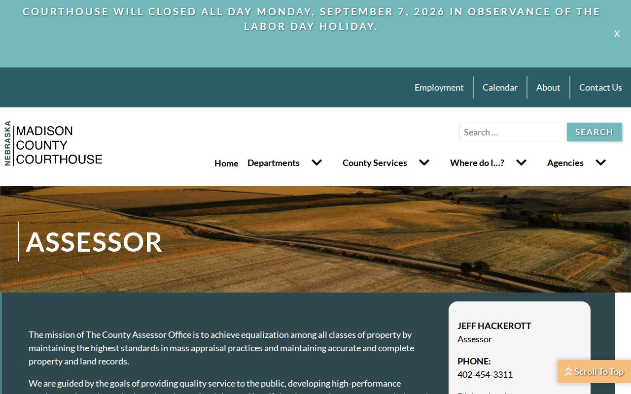
The county page connects the assessor’s public-record function to the parcel and GIS search rather than presenting a street list by itself.
Norfolk Street GIS Shows Parcel Context
County GIS is the practical map layer for a Norfolk street directory. Center the map on the target, identify its parcel polygon and PID, then review the polygons beside it or across the street. The captured Madison interface includes parcels and sections filters, export controls, and a “Show All Features” tool. Its result data can include PID, owner name, owner address, property address, legal description, and GlobalID. Parcel, road, planning, zoning, emergency, treasurer, clerk, deeds, and weeds layers add context.
Use those layers to understand geography, not to make a legal conclusion. Norfolk’s own map page labels city maps as informational rather than authoritative. For a boundary disagreement, a title question, or an uncertain right-of-way, compare the GIS picture with the legal description, a plat, and the appropriate county or city office. The live public GIS endpoint was intermittently unavailable during research, so exact click or radius-tool labels should be checked in the current interface.
The Madison County GIS and parcel portal is the source for the mapped parcel interface.
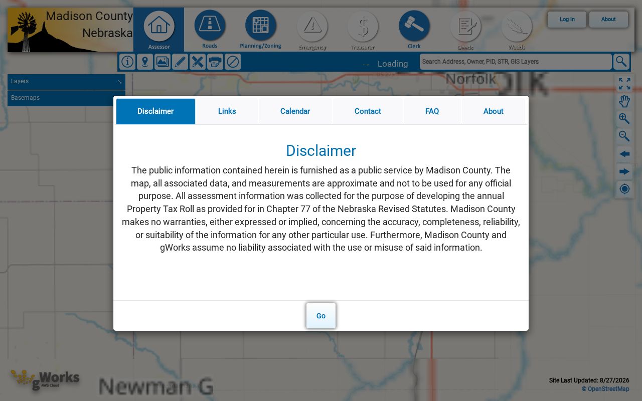
The portal shows the address, owner, parcel, and map-entry paths that make street-by-street comparison possible.
Norfolk Records Searchable by Street
A street query can move across several address-keyed sources, but each records a different event. The assessor card supplies parcel facts. GIS supplies map placement. The Register of Deeds supplies recorded transfers and legal descriptions. Planning files can date physical changes. The library can supply a historical address listing. Voter material has strict access limits and should remain an individual named check rather than a block download. The table identifies the available channels so the search does not stop at the first portal.
| Address-keyed record | Norfolk or Madison keeper | What it shows | Access channel |
|---|---|---|---|
| Assessor parcel card | Madison Assessor / gWorks | Owner, mailing and situs addresses, PID, legal description, values, and building facts | Online card or map, counter, and phone |
| GIS parcel map | Madison County GIS | Parcel boundaries, roads, sections, layers, and imagery | Online map when available |
| Deed index | Madison Register of Deeds | Grantor, grantee, dates, document type, book or page, and legal description | Free index, scans where available, or counter copies |
| Plats and surveyor records | County, History Nebraska, and library | Lot, block, subdivision, roads, and historic parcel shape | Counter, microfilm, archive, or Heritage Room |
| Tax portal | Madison Treasurer | Parcel account and tax chronology | Name, property ID, or address search; counter |
| Building permits | Norfolk Building Services | Date, address, issued-to field, project, valuation, and fee | Year-to-date reports, forms, or a specific written request |
| Conditional-use files | Norfolk Planning | Approval date, issued-to, use, location, and 300-foot contact map | Online annual pages or request |
| Registration information | Nebraska elections system | Limited named registration and polling context | VoterView, county register inspection, or $500 state-file request with affidavit |
| City maps and engineering files | Norfolk Planning and Engineering | Street names, zoning, wards, plats, and infrastructure maps | Online informational maps or Engineering counter |
| Phone books and directories | Norfolk Public Library | Historical name, address, and telephone clues | Heritage Room, with year-specific request |
Do not merge the results into a single present-day list. A permit can name an applicant or contractor, a deed can name a trustee or lender, and a tax record can show an account. The record’s label and date explain what it can establish.
Norfolk Street Deeds Follow Legal Descriptions
A deed chain begins with the legal description, not with a street name alone. First save the current owner and parcel description from the assessor card. Search that owner as a grantee in Nebraska Deeds Online. Choose the instrument whose lot, block, subdivision, or section description matches the parcel. Then record the grantor, grantee, document type, instrument date, recording date, book and page or document number, and whether a scan is available. Search the prior grantor as a grantee to continue the chain backward.
When the parcel description changes, follow the replat, subdivision, or lot references. Nebraska’s formal grantor-grantee index recognizes parties, filing date, instrument date, character of instrument, book, page, and tract description. The public web legal description may be shortened and is not for legal use. The Register of Deeds counter is the correct channel for a specific copy or older book when the online index does not provide it.
The Madison County Nebraska Deeds Online search includes grantor, grantee, town, subdivision, block, lot, outlot, and older-record controls.
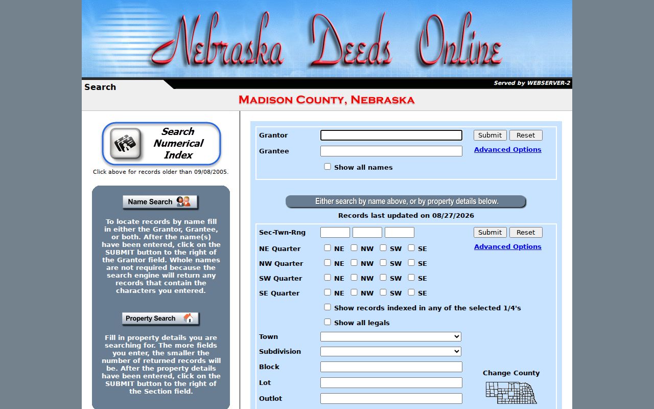
The Norfolk town choice and legal-description controls help constrain a street search to the correct recorded parcel.
Note: The county states online data and documents from June 2014 forward, while the search page separately routes to records older than September 8, 2005.
Norfolk Street Permits Date Changes
Building and land-use records can add a date layer to a Norfolk street directory. Norfolk Building Services offers forms, code information, and year-to-date permit reports. The inspected 2025 fiscal report includes date, property address, issued-to or contractor, project type, valuation, and permit fee. City Code §27-27 requires permit applications to state the location, improvement type, proposed use, cost, site or plot plan, and zoning-compliance information. These records can place an addition, demolition, or other change at an address.
Use a permit as evidence of work at a location, not as a direct statement about who was present there. A report may identify an issued-to party or contractor rather than a parcel owner. For an older record, request an existing file using the address, date range, and record type. Conditional-use pages can add approval date, use, location, and a 300-foot contact map, while City Engineering retains subdivision plats and street, water, sewer, and storm-improvement maps.
The Norfolk Building Services page is the official starting point for permit reports and forms.
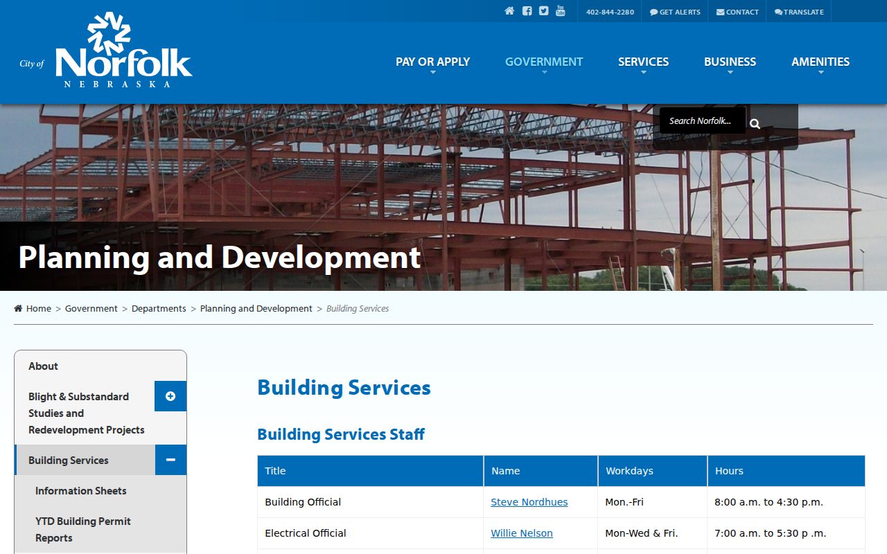
Its city route supplies address-based change evidence that can be compared with the parcel and deed timeline.
Norfolk Street Numbers Start at Two Lines
Norfolk’s street grid has two base lines under City Code Chapter 27: Norfolk Avenue is the baseline for east-west avenues, and First Street is the baseline for north-south streets. That local rule explains why a directional suffix, avenue or street label, and exact number matter in a search box. It also gives an older address investigation a check point when a directory, map, or parcel card seems to describe the same place in a different way.
City Planning maps provide a street-name map, aerials, zoning, wards, flood layers, and other context, but the city says the maps are informational and non-authoritative. Bridge a doubtful address through the parcel legal description, a subdivision plat, or Engineering records. No official Norfolk renumbering year was verified in the research, so it is safer to compare dated sources than to assume a changed number reflects one known renumbering event.
Norfolk Street Directories Bridge Earlier Names
A historical Norfolk street directory can bridge gaps that parcel and deed portals cannot. The Norfolk Public Library Heritage Room lists city directories from 1889 forward and phone books from various years beginning in 1926. The accessible library page does not identify a complete reverse-directory run, so ask staff for the address section, criss-cross volume, or phone book for the specific year and confirm whether it runs name-to-address, address-to-name, or telephone-only. The library also holds newspapers, plat maps, cemetery records, and local databases.
The 1889 local directory transcription uses relative locations such as “between” two avenues and a house-side notation, rather than modern numbering. Pair such language with a plat or street map before deciding it describes a present parcel. For a complete historical-shelf approach, use the Norfolk directory book; for a single named record after a street result is found, the Norfolk resident lookup route keeps the question person-specific.
Limits of the Norfolk Street Directory
A Norfolk street directory cannot show every person connected to an address. Parcel and deed records are chiefly ownership and land records. A mailing address may differ from the situs, and a situs can be vacant, commercial, or multi-unit. A named VoterView search is not a public streetwide download, and protected voters may have confidential treatment or a substitute mailing address. DMV, utility-customer, and delivery data are not lawful public street rolls.
Nebraska’s Address Confidentiality Program provides a substitute address and mail forwarding for qualifying survivors. Nebraska voter-confidentiality rules also protect qualifying records. If a field is wrong, retain the URL, date, and supporting document, then ask the original assessor, election office, court clerk, or Register of Deeds about the correct correction or redaction process. A property record is not a tool for reverse-locating protected people.