
Norfolk ZIP Code Coverage
Norfolk has a two-ZIP postal pattern in the official material reviewed for this directory. The main difference is delivery use, not a clean neighborhood map. USPS delivery geography is built for mail service. It does not mark the incorporated city boundary, ownership, or who lives at a given address. Confirm an individual address with USPS, then use the county and city maps for jurisdiction or parcel questions.
| ZIP | Coverage described | Postal service | Search note |
|---|---|---|---|
| 68701 | Norfolk street-delivery area and related Madison County delivery geography | Norfolk USPS location | Verify the exact address and ZIP+4 rather than assuming a city-limit boundary. |
| 68702 | Norfolk PO Box and secondary mailing use, including local institutions | Norfolk postal destination pairing | Treat it as a mailing or service ZIP, not a residential boundary. |
The official USPS location page identifies the Norfolk post office at 1100 S Pine Industrial Road, Norfolk, NE 68701-9998. USPS scheme material pairs both 68701 and 68702 with Norfolk, but no simple official neighborhood polygon or list of every delivery point was located. That gap matters when a postal result is used to narrow a county record.
USPS five-digit ZIP scheme material shows Norfolk's 68701 and 68702 destination pairing.
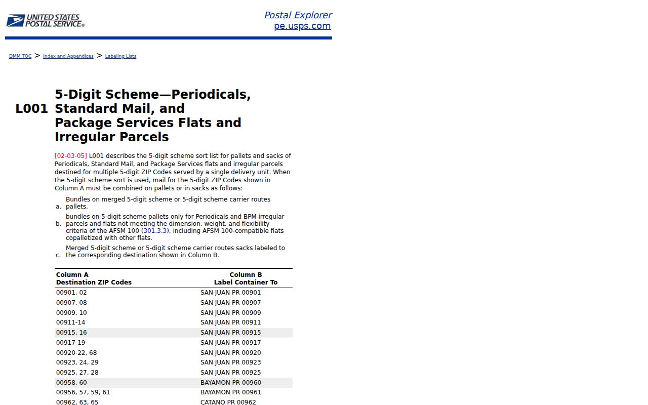
The pairing confirms the postal-city connection, while USPS address lookup supplies the result needed for a particular delivery point.
Norfolk ZIP Code Delivery Split
Norfolk's local pattern shows why a ZIP code cannot be treated as a street boundary. Research found a clear physical-versus-mailing example at Northeast Community College: its physical campus uses 801 E Benjamin Avenue, Norfolk, NE 68701, while its mailing address uses PO Box 469, Norfolk, NE 68702-0469. Orphan Grain Train similarly displays a 68701 physical location and a 68702 post-office-box mailing address. Both addresses can be valid without identifying the same kind of location.
This is also consistent with the Madison County assessor distinction between situs and mailing address. Situs is where the parcel or building sits. Mailing address is where correspondence is sent. A mailing ZIP can be a box, another property, or an out-of-county destination. Retain both fields when a Norfolk postal search leads to a parcel card.
The official Norfolk USPS location listing supplies the local post-office routing reference.
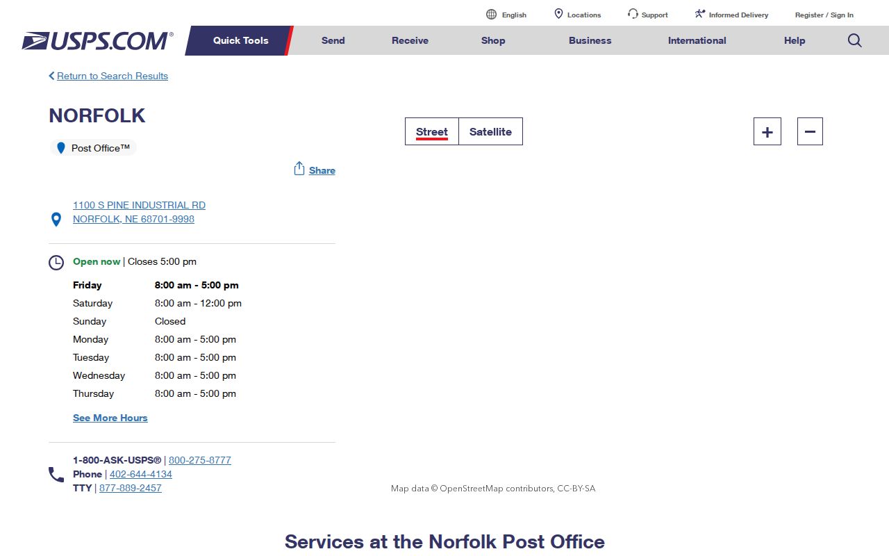
Use the post-office listing for postal services and address verification, not as a map of Norfolk's municipal boundary.
Find Norfolk Residents by ZIP Code
Start an address-focused search with USPS, then move to the record system that supports the needed field. The assessor and Madison tax portal search by address, owner name, or parcel identifier, not a verified ZIP-only public filter. VoterView uses a residential address for polling-place search and a first-name, last-name, county path for a registrant. The statewide license and unclaimed-property services include city and ZIP filters, but those records are affiliation or property leads, not a resident roll.
- Enter the full Norfolk street address in USPS ZIP Code Lookup and retain the returned ZIP+4.
- Check city limits or county jurisdiction separately through city maps and Madison County GIS.
- Use 68701 for a street-delivery address. Test 68702 when the source is a post-office box or institutional mailing address.
- Search the assessor or tax portal by address, owner, or parcel identifier, preserving mailing address and situs as different fields.
- Convert a confirmed parcel to lot, block, subdivision, or section description before using Nebraska Deeds Online.
Once a ZIP narrows the area to a particular street, the Norfolk street directory lookup carries the current address trail through parcels, deeds, and map layers. ZIP is a preliminary geographic filter, not a substitute for legal description or a name match.
Note: A 68701 result can be outside incorporated Norfolk, so city and county geography should be checked before drawing a jurisdiction conclusion.
USPS Verifies Norfolk ZIP Plus Four
USPS ZIP Code Lookup is the address-specific official route. Enter the street address rather than relying on a neighborhood label, old mailing list, or an institution's post-office box. The returned ZIP+4 may identify a delivery segment, a group of apartments, or a box segment. It remains a postal delivery code. It does not prove parcel ownership, household membership, or a person's current residence.
The USPS lookup form is the primary official check before using a ZIP in another index.
Record the exact address searched and the date checked. Address normalization, apartment information, or a changed delivery route can affect the output.
Norfolk ZIP Code Search Fields
Several Nebraska systems accept ZIP alongside other information, but their results have different meanings. The DHHS License Information System lists individual-search fields for first name, last name, license number, status, profession, type, city, county, and ZIP. Nebraska Lost Cash can take last or business name, first name, city, ZIP, property ID, and claim ID. The offender registry has a regional search by county, city, or ZIP. Treat those as purpose-specific state searches, not as a method to assemble a general household list.
| DHHS License Information System | First name, last name, license number, status, profession, type, city, county, ZIP |
|---|---|
| Nebraska Lost Cash | Last or business name, first name, city, ZIP, property ID, claim ID |
| Nebraska offender registry region search | County, city, ZIP; separate from name and location-radius paths |
| VoterView | First name, last name, county, or a residential address for polling-place search; no public ZIP-only registrant path documented |
| Madison tax portal | Name, property ID, or address; no verified ZIP-only filter captured |
The Madison tax portal shows its basic name, property-ID, and address search route.
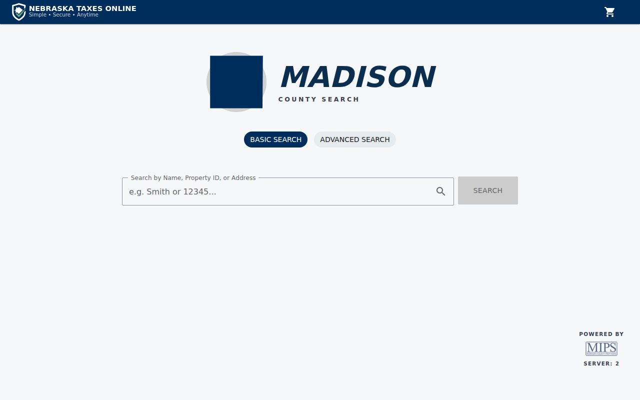
The portal is a second parcel and tax-account check after an address is verified. A tax account name does not establish present occupancy.
Norfolk ZIP Code to Parcel Trail
A Norfolk ZIP code directory result becomes more useful when it leads to a parcel identifier. Madison County's gWorks and assessor tools support address, owner, PID, and legal section searches. A result can show owner name, owner mailing address, property address, legal description, and county map information. The PID is an administrative lookup key, not a documented code that should be decoded. For title work, use the property description to move from a street address to a subdivision, lot, block, or section-township-range form.
Nebraska Deeds Online searches grantor, grantee, section-township-range, quarter sections, town, subdivision, block, lot, and outlot. It does not search by ZIP. The property chain is therefore address to parcel, then legal description to deed index. City and county map layers help orient the search, but the city map page calls its maps informational rather than authoritative legal records.
Norfolk maps and aerial photos provide street-name, zoning, ward, flood, and aerial context for a ZIP-narrowed address.
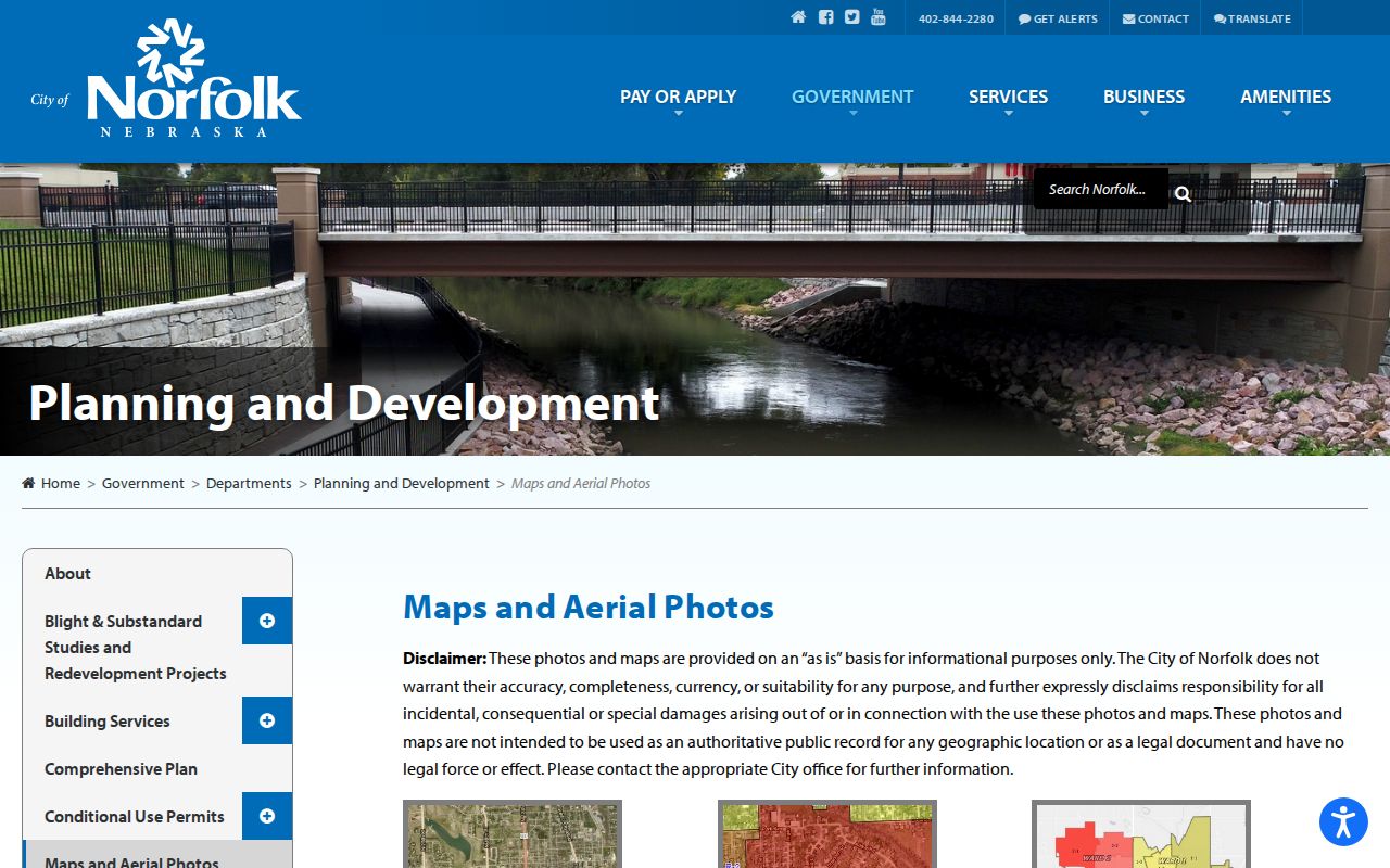
Use the map layers to understand location and then confirm boundary or parcel questions through the county record or the office that maintains it.
Norfolk Research Before ZIP Codes
Historic searches cannot begin with a ZIP code. Norfolk city directories, phone books, census geography, newspaper titles, post office references, plats, and old relative street descriptions are the better starting fields. The library's Heritage Room lists Norfolk City Directory volumes from 1889-present, phone books from various years beginning in 1926, and Daily News microfilm from 1887-2009. The Community History Archive extends the listed Daily News material through 2020.
For an early person or address, search Norfolk as well as North Fork, Norfork, and Nor'fork variants. The local postal naming story is unsettled in the source material and can affect old newspaper OCR. Pair “between” or corner descriptions in an 1889 directory with plats, street maps, later directories, and the county legal description before deciding that two address forms describe different places.
Norfolk ZIP Code Boundaries and City Limits
Postal geography and city geography do not use the same lines. A 68701 delivery point can lie outside incorporated Norfolk while still using Norfolk as its postal city. Conversely, a Norfolk city-limit parcel may have a 68702 post-office-box mailing address. The research did not locate an official USPS boundary polygon or a complete list of out-of-city 68701 delivery points, so a postal directory cannot settle an annexation, zoning, or municipal-service question.
Norfolk's official annexation material identifies Portia Place, Valli Hi and Sheridan Road, Huntley Addition, Beverly Road, Suburban Acres, and Eastern Heights in the 2019 boundary study and 2021 annexation material. Nebraska Revenue lists Ordinance 5743 as effective April 1, 2022. An older deed or tax card may therefore use county geography while a later city planning or permit record references the same area. Check the city boundary, county parcel, and date of the record together.
Boundary check. A Norfolk ZIP is a mail-service clue. Confirm city-limit, planning-area, and parcel-boundary questions with the applicable city or county record.
Norfolk ZIP Code Definitions
These terms keep a Norfolk ZIP code directory search in its proper scope. They describe delivery and address handling, not a verified census of everyone at a location.
- ZIP Code
- A five-digit USPS routing code for delivery geography. It is not a municipal boundary or a parcel identifier.
- ZIP+4
- The five-digit ZIP with four added digits for a narrower delivery segment, such as a block, group of units, or post-office-box range.
- PO Box ZIP
- A ZIP used for a post-office-box or secondary mailing arrangement. Norfolk 68702 is the documented local example.
- Carrier route
- A mail-delivery grouping used operationally by USPS. It is not evidence of a household, ownership, or city jurisdiction.
Use the complete address and the source date whenever recording a postal result. If the question turns into a deed, owner, or street history search, move to the county parcel and recorder systems rather than extending the ZIP result beyond what it shows.